Vintage mapping photos
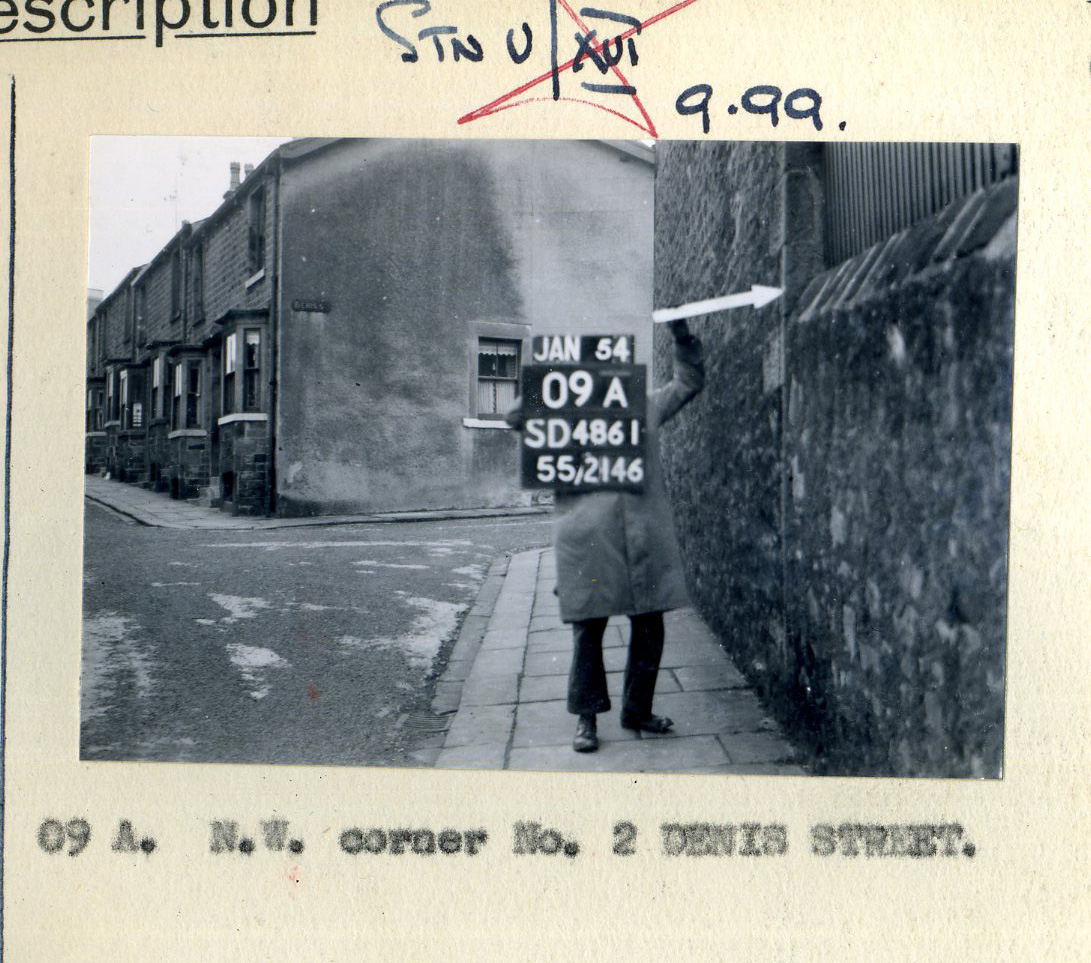
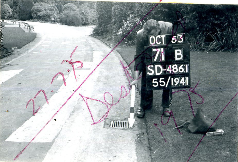
Andy Switky of IDEO shares these great vintage photos of a situationist prank waypoint mapping project. Andy writes:
I spoke at a conference in Wuxi about a month ago and hung out with great folks from the London College of Communication. We got to talking about GPS for some reason, and one of them remembered a couple pictures he picked up at the Ordnance Survey, the UK mapping equivalent of the USGS. The pictures are from the early 1950s and presumably show "waypoints".Link to image 1, Link to image 2 (Thanks, Lyn Jeffery!)


the latest
latest episodes
Waypoints are sets of horizontal and/or vertical coordinates. Physical waypoint reference marks/monuments are called "benchmarks" in surveying.
In addition, the second photo is marked "Destroyed", indicating that the benchmark has been irreparably damaged or obliterated.
The Ordinance Survey, from what I know of it, tends to use engraved benchmarks in walls and concrete structures. The USGS (and USC&GS) standard is a bronze disk set into a drill hole in a durable structure or concrete base, though older benchmarks could be drill holes, metal rods, or bolts.